Arizona Wall Map by Globe Turner For Discount
- Estimated Delivery : Up to 4 business days
- Free Shipping & Returns : On all orders over $200
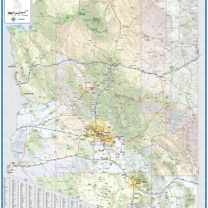
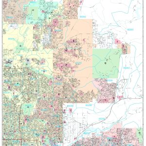
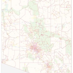
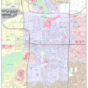
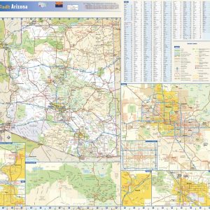
This colorful, easy-to-read state map of Arizona identifies all major thoroughfares, secondary roads, freeway interchanges, rest areas, distance markers, landmarks, recreational areas, and more. Shaded relief on the state map provides a three-dimensional sense of Arizona’s topography. Detailed inset maps of Bullhead City, Flagstaff, Phoenix, Tucson, and Yuma are based on the latest street information from our cartographic experts. An up-to-date inset of Grand Canyon National Park provides must-see information on this popular tourist destination. County and city indices make it simple to locate even the smallest town.
This map is rolled and shipped in a sturdy cardboard tube.
| Size | 38×36, 44×42, 51×48, 59×56 |
|---|---|
| Material | Paper, Laminated, Laminated with Hanging Rails |
Related products
-
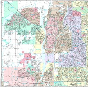
Arizona Zip Code Map Cheap
$32.48