Product on sale
Denver Regional Area by Metro Maps For Sale
22 people are viewing this right now
3 products sold in last 4 hours
Selling fast! Over 9 people have this in their carts
- Estimated Delivery : Up to 4 business days
- Free Shipping & Returns : On all orders over $200
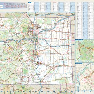
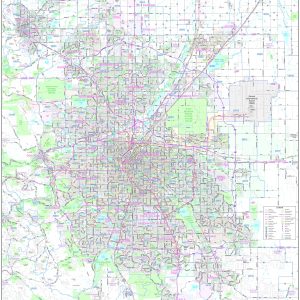
This up to date map of the Denver regional area features up-to-date major roads, cities, highways, zip code boundaries, lakes, hospitals, high schools and more.
Coverage Area Includes: North to Longmont, West to Boulder and Golden, East to include Denver International and South to include Castle Rock.
This map is rolled and shipped in a sturdy cardboard tube.
| Size | 36×52, 42×61, 48×69, 56×81 |
|---|---|
| Material | Paper, Laminated, Laminated with Hanging Rails |


