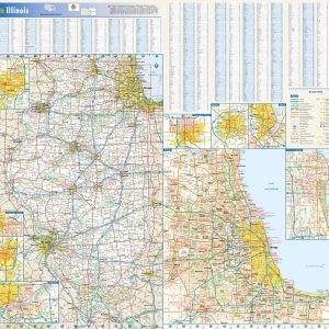
Illinois Wall Map by Globe Turner on Sale
- Estimated Delivery : Up to 4 business days
- Free Shipping & Returns : On all orders over $200
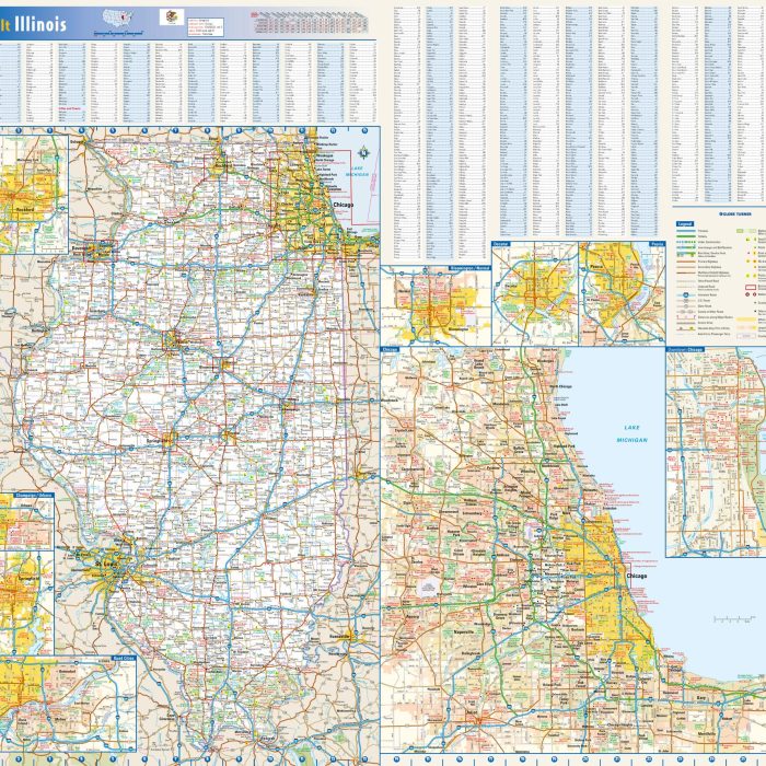
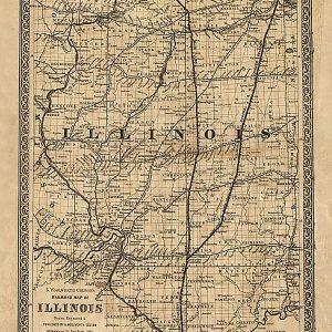
This colorful, easy-to-read state map of Illinois identifies all major thoroughfares, secondary roads, freeway interchanges, rest areas, distance markers, landmarks, recreational areas, and more. Shaded relief on the state map provides a three-dimensional sense of Illinois topography. Detailed city inset maps of Bloomington Normal, Chicago, Champaign Urbana, Decatur, Peoria, the Quad Cities, Rockford, and Springfield are based on the latest street information from our cartographic experts. An up-to-date inset of downtown Chicago provides must-see information on the central business and tourist district. County and city indices make it simple to locate even the smallest town.
This map is rolled and shipped in a sturdy cardboard tube.
| Size | 40×36, 47×42, 53×48, 62×56 |
|---|---|
| Material | Paper, Laminated, Laminated with Hanging Rails |
