Product on sale
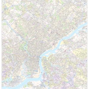
Philadelphia County Wall Map Hot on Sale
21 people are viewing this right now
2 products sold in last 2 hours
Selling fast! Over 2 people have this in their carts
- Estimated Delivery : Up to 4 business days
- Free Shipping & Returns : On all orders over $200
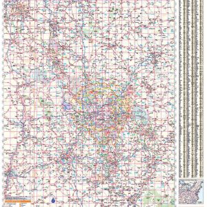
This map of Philadelphia County, Pennsylvania shows street level information including street labeling. Base map features include all roads with major roads and highways labelled; neighborhood names; railways; high level land use such as parks and recreation areas, industrial areas and hospital campuses; and a variety of points of interest including libraries, stadiums, museums, border crossings and more. ZIP code boundaries are shown as a secondary map feature.
This map is rolled and shipped in a sturdy cardboard tube.
| Size | 36×48, 42×56, 48×64, 56×75 |
|---|---|
| Material | Paper, Laminated, Laminated with Hanging |

