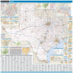

Premium Style San Antonio Wall Map by Market Maps For Discount
- Estimated Delivery : Up to 4 business days
- Free Shipping & Returns : On all orders over $200
Save money on our full line of wall maps from one of the industry leaders in wall maps. These always up to date, eye catching wall maps come in a variety of sizes and finishing options sure to meet your specific mapping needs.
Note: Major streets & highways available in all sizes. All streets & highways only available in larger sizes and will show unavailable in smaller sizes.
Features include:
- Interstate Us State Highways
- 5-Digit ZIP Codes
- County Names and boundaries
- Cities and Towns as applicable
- All water
- Institutions
- Cemetery
- Airports
- Golf Courses
- Parks
- Populated Places Shaded
- ZIP Code index with grid locator
-
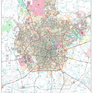
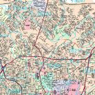
San Antonio, TX
Area of Coverage: North: to include the Cities of Fair Oaks Ranch and Bulverde; South: to include the cities of Somerset and just past the southern city limits of San Antonio; East: Cities of Cibolo and Adkins; West: just before the western city limits of San Antonio.
This map is rolled and shipped in a sturdy cardboard tube.
| Size | 36×48, 48×64, 60×80, 72×96, 90×120, 108×144 |
|---|---|
| Finishing Options | Laminated Map, Laminated Map with Wood Rails |
| Street Level Detail | Major Streets and Highways, All Streets and Highways |
Related products
-
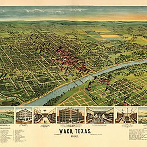
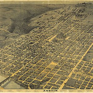
Waco, 1892 on Sale
$19.98