Product on sale
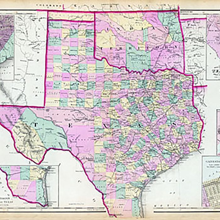
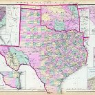
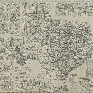
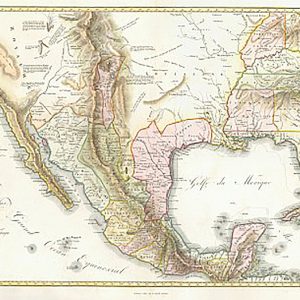
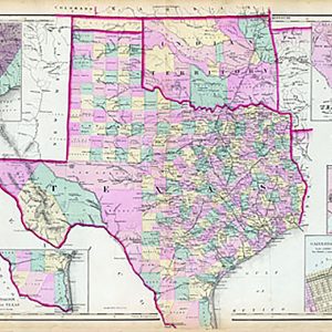
Texas and Indian Territory 1876 Online
21 people are viewing this right now
10 products sold in last 19 hours
Selling fast! Over 3 people have this in their carts
- Estimated Delivery : Up to 4 business days
- Free Shipping & Returns : On all orders over $200
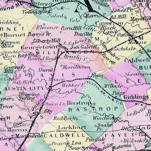
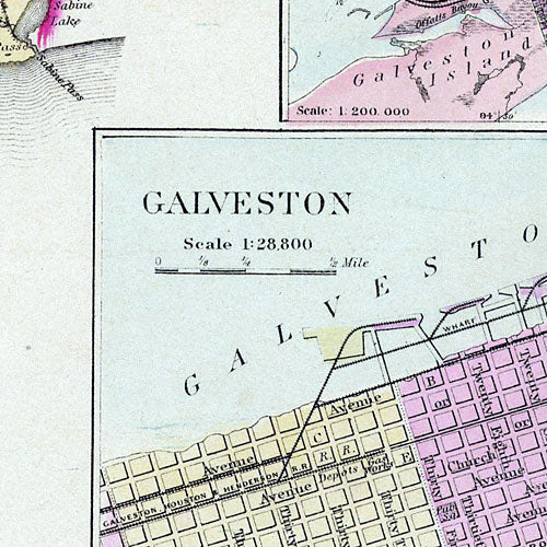
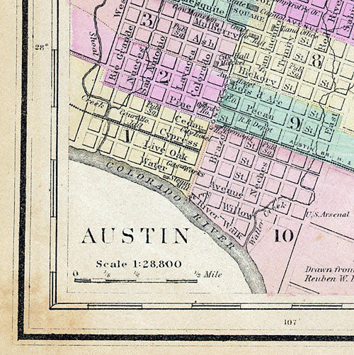
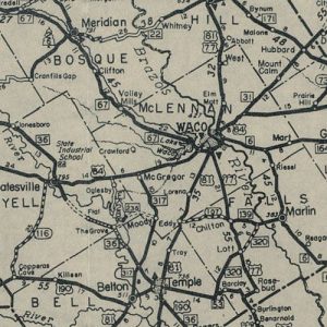
What sets this map by Frank Gray apart from the others of this period are the seven inset maps that show: the rivers of Texas and their tributaries, a “Hypsometric Sketch of Texas” that depicts the topography, Galveston, Galveston Bay, Matagorda Bay, Austin, and the southern tip of Texas. This beautiful reproduction is printed on heavy, acid-free stock and is excellent for framing.
| Title | Default Title |
|---|
